The US offers a national administrative hierarchy (States and Counties) plus city-level schemes for New York City, Los Angeles, and San Francisco.
| Scheme | Levels | Source |
|---|---|---|
| Administrative Divisions | States (51), Counties | Overture Maps |
| NYC Boroughs | Boroughs (5) | NYC Open Data |
| NYC Community Districts | Community Districts (59) | NYC Planning Dept. |
| NYC Neighborhoods (NTA) | Neighborhoods (262) | NYC Planning Dept. |
| LA Council Districts | Council Districts (15) | City of LA Open Data |
| SF Supervisorial Districts | Supervisorial Districts (11) | SF Open Data |
US administrative hierarchy.
| Level | Local Name | Count | Code Format | Example |
|---|---|---|---|---|
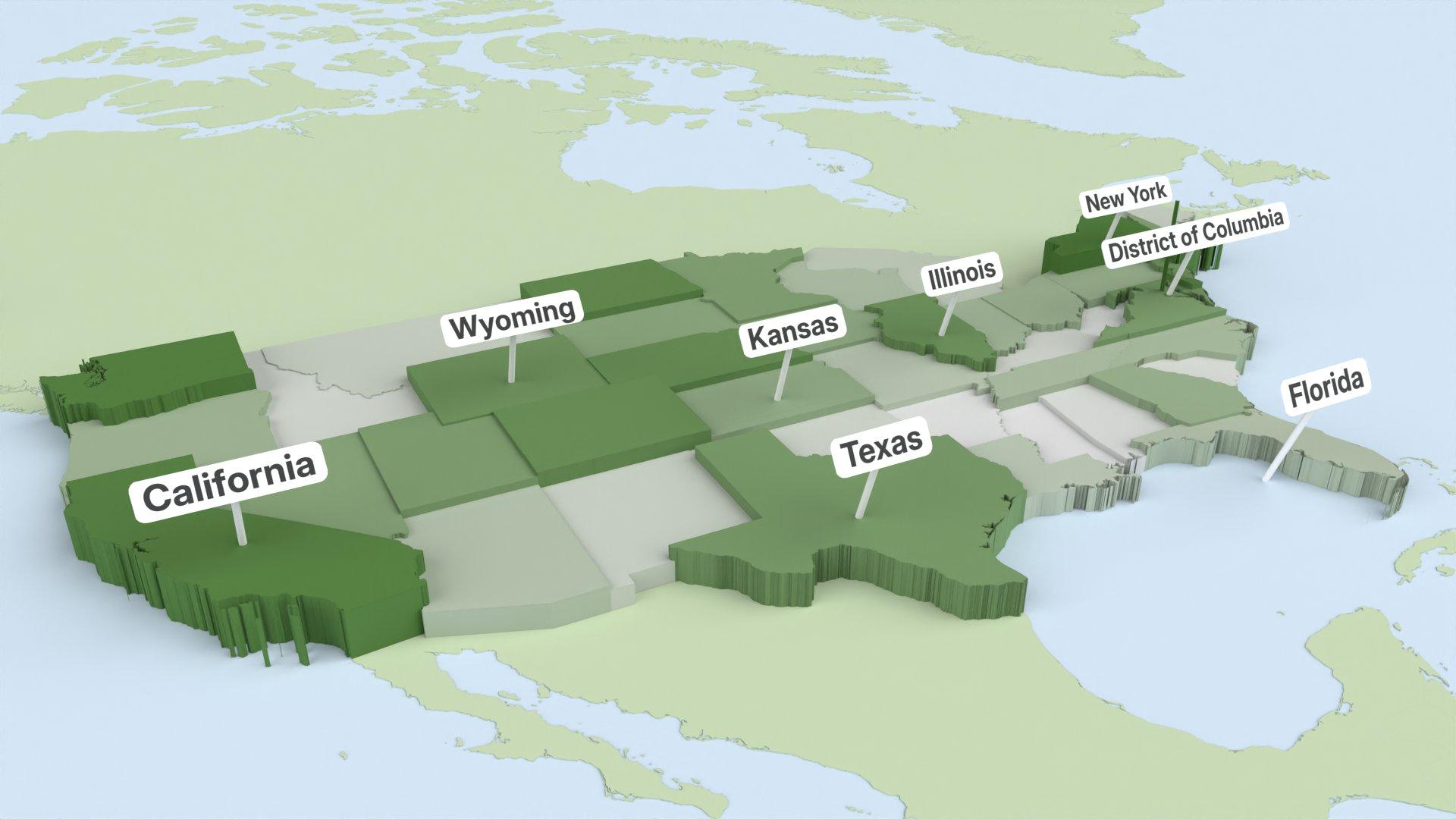
| State | States | 51 | ISO 3166-2 (US-CA) | California |
| County | Counties | ~3,100 | FIPS code (06001) | Alameda County |
Accepted codes: ISO 3166-2 codes (US-CA), state abbreviations (CA), FIPS codes (06001), state/county names.
Preset: "USA (States)"
The 5 boroughs of New York City.
| Level | Count | Code Format | Example |
|---|---|---|---|
| Borough | 5 | nyc_bor:BOR-{n} | nyc_bor:BOR-1 — Manhattan |
Boroughs: Manhattan, Brooklyn, Queens, The Bronx, Staten Island.
Matching: Borough names (e.g. "Manhattan", "Brooklyn").
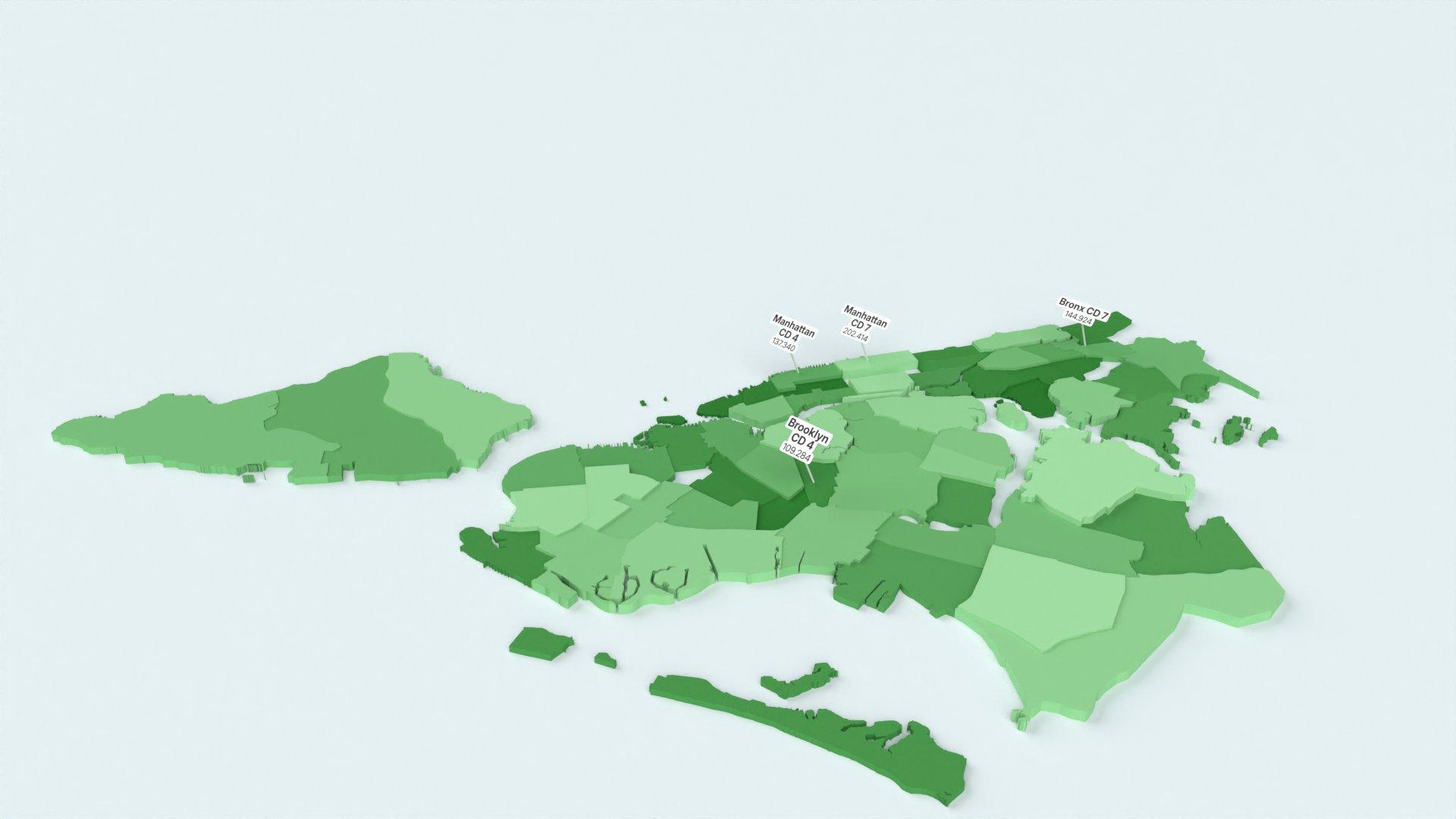
The 59 community districts of New York City — administrative divisions used for local governance and budget allocation.
| Level | Count | Code Format | Example |
|---|---|---|---|
| Community District | 59 | nyc_cd:CD-{nnn} | nyc_cd:CD-101 — Manhattan CD 1 |
Matching: District codes or names.
The 262 Neighborhood Tabulation Areas (NTAs) of NYC — named geographic units corresponding to recognizable neighborhoods like Chinatown, SoHo, Williamsburg, and Astoria.
| Level | Count | Code Format | Example |
|---|---|---|---|
| Neighborhood (NTA) | 262 | nyc_nta:{code} | nyc_nta:BK0101 — Greenpoint |
Matching: NTA codes (e.g. BK0101) or neighborhood names (e.g. "Greenpoint", "Williamsburg").
The 15 City Council districts of the City of Los Angeles.
| Level | Count | Code Format | Example |
|---|---|---|---|
| Council District | 15 | la:CD-{nn} | la:CD-01 — Council District 1 |
Matching: District number (1–15).
The 11 Supervisorial (Board of Supervisors) districts of San Francisco.
| Level | Count | Code Format | Example |
|---|---|---|---|
| Supervisorial District | 11 | sf:DST-{nn} | sf:DST-01 — District 1 |
Matching: District number (1–11).
| Scheme | Source | License | URL |
|---|---|---|---|
| Administrative Divisions | Overture Maps (2026-02-18.0) | CDLA Permissive 2.0 | overturemaps.org |
| NYC Boroughs | NYC Open Data | NYC Open Government | data.cityofnewyork.us |
| NYC Community Districts | NYC Open Data | NYC Open Government | data.cityofnewyork.us |
| NYC Neighborhoods (NTA) | NYC Planning Dept. | NYC Open Government | nyc.gov/planning |
| LA Council Districts | City of LA ArcGIS | Open | public.gis.lacounty.gov |
| SF Supervisorial Districts | DataSF | PDDL | data.sfgov.org |